

Monitoring solutions for different applications
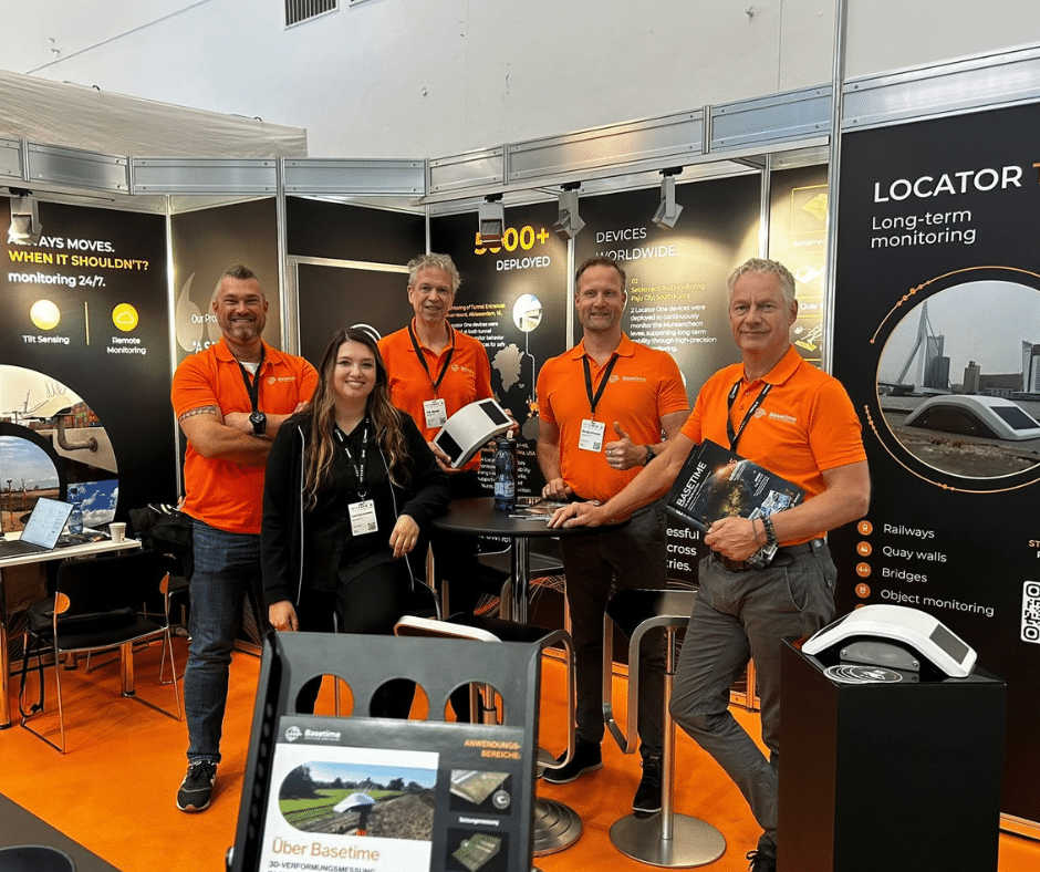
At INTERGEO, we showcased how Locator One, Locator Two and Parvamoti work together to provide reliable monitoring data and clear insights into movement.
Whether it concerns a temporary monitoring project, long-term structural monitoring or making better use of monitoring data, our solutions are designed to support different monitoring needs.
Locator One provides autonomous GNSS monitoring for projects where reliable movement data is needed without continuous manual measurements.
Locator Two combines GNSS positioning with 3D tilt measurements and is designed for long-term monitoring of structures and infrastructure.
From monitoring data to clear insights
Monitoring is not only about collecting measurements. The data also needs to be easy to understand and use.
Parvamoti is the online platform behind our monitoring solutions. It allows users to view monitoring data, follow movement over time, manage projects and stay informed when predefined conditions or thresholds are reached.
Talking about real monitoring challenges
Throughout the three days, we had many conversations about real projects and applications.
From settlement monitoring and landslides to bridges, dikes and other infrastructure projects, every monitoring situation comes with its own requirements.
Our case studies show how Basetime solutions are used in practice across a wide range of projects.
If you have a monitoring challenge or an upcoming project, we would be happy to think along with you.
Get in touch with us at sales@basetime.nl.
See you next time!


