The Future of Precise Movement Monitoring
Save costs, improve safety, and optimize your projects with reliable geodetic data at your fingertips.
Monitoring: Essential for safety and efficiency
In today’s world of geodetic data registration, the demand for precise, reliable, and efficient monitoring solutions is rapidly growing. As projects become more complex and risks increase, monitoring and managing even the smallest movements in our environment is more critical than ever. Whether you aim to save costs, save time, or improve safety, the key lies in having accurate, predictive, and redundant data readily available.
- Early warnings: Detect small changes before they become significant problems.
- Cost savings: Prevent expensive repairs by acting in time.
- Safety: Monitor critical structures like bridges and tunnels to avoid hazardous situations.
- Real-time efficiency: Make better decisions with up-to-date data.
- Insight and prediction: Understand current situations and predict future developments.
Precision in every movement
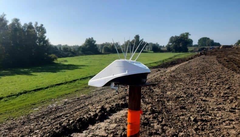
Basetime offers autonomous measuring solutions, such as the Locator One, delivering sub-centimeter accuracy for geodetic data. Perfect for construction companies, surveyors, and engineers.
Solutions in focus:
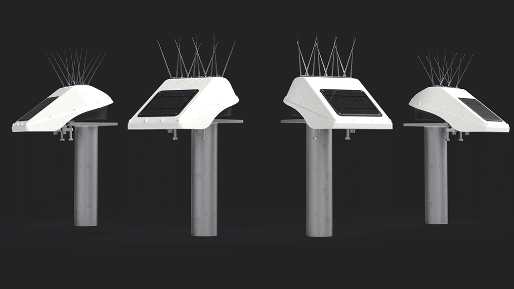
Locator One:
Autonomous GNSS-based 3D monitor for movements.
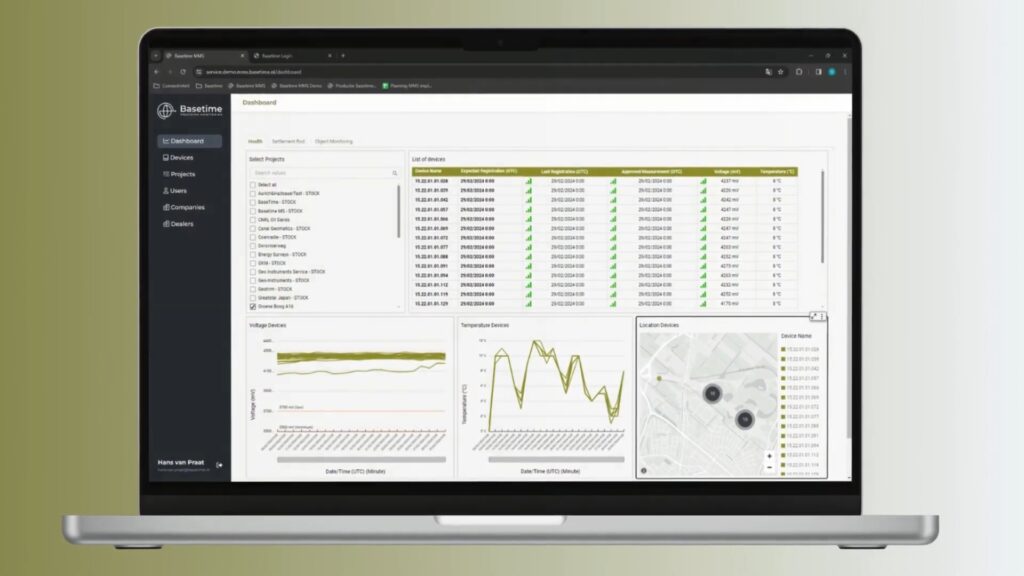
Parvamoti MMS:
User-friendly platform for project management and data analysis.
Applications
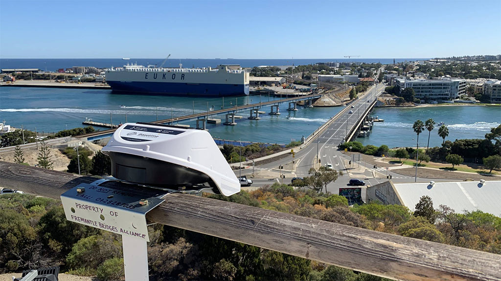
Ground movement, object monitoring (tunnels, bridges), landslides, water level management.
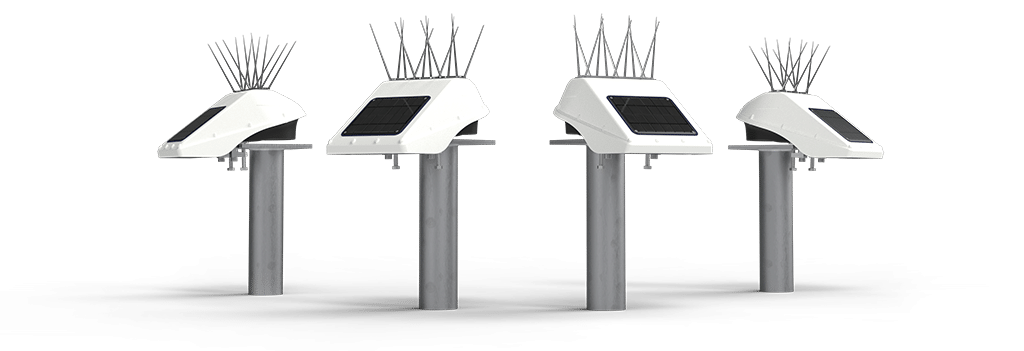
Locator One:
precision in every movement
The Locator One is an autonomous GNSS-based 3D monitoring station offering sub-centimeter accuracy. Designed for construction companies, surveyors, and engineers, it is perfect for monitoring ground movement, tunnels, bridges, and water levels. With easy-to-install devices, you always have full control over even the smallest movements.
Parvamoti MMS:
smart and simple project management
Manage and monitor your projects effortlessly with Parvamoti, Basetime’s powerful measurement management system. With clear dashboards, you can easily configure Locator One devices, launch projects, and monitor crucial data and device statuses. Parvamoti is designed for various user roles and offers flexibility and full control over your monitoring activities.

Key benefits of our technology
- High precision: sub-centimeter accuracy.
- Ease of use: Quickly deployable and intuitive systems.
- Efficiency: Automatic data collection and processing.
- Near real-time insight: Respond faster with data insights.
- Sustainability: More efficient and environmentally friendly processes.
- Global reach: Access our technology via a worldwide partner network.
Innovation in measurement solutions since 2018
Basetime was founded through a collaboration between an IoT company and a geodetic consultancy. Since our inception, we have developed technologies that make projects safer, more efficient, and more sustainable.
Mission:
Our mission is to develop precise and reliable measuring equipment that contributes to a safe and sustainable work environment.
Vision:
We transform the construction and infrastructure sectors with innovative measurement solutions.
Trusted by leading companies worldwide
Ready to explore the future of monitoring?
Want to learn more about our solutions and how we can support your project? Contact us or request a demo.


