

Automated Settlement Rod Monitoring with Locator One
Monitor settlement, ground level and fill layers automatically and remotely. Receive frequent measurement data without having to visit the construction site for every reading.
✓ Automated measurements
✓ Data instantly available
✓ Insight into settlement and layer thickness
MORE INSIGHT, LESS UNCERTAINTY
More insight between manual measurement rounds
Manual settlement rod measurements provide reliable snapshots, but require repeated site visits. During rapid filling phases, this can create a delay between the actual change and the moment new measurement data becomes available.
Automated monitoring provides more frequent insight into:
- the vertical displacement of the settlement rod;
- the development of settlement;
- the thickness of applied fill layers;
- trends between successive measurement moments;
- deviations that require attention.
HOW IT WORKS
From settlement rod to up-to-date project insight

Installation
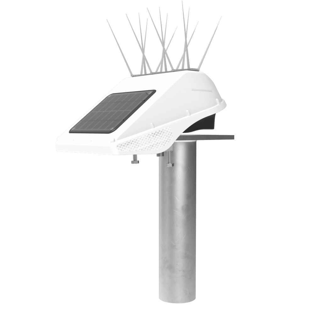
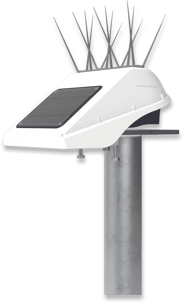
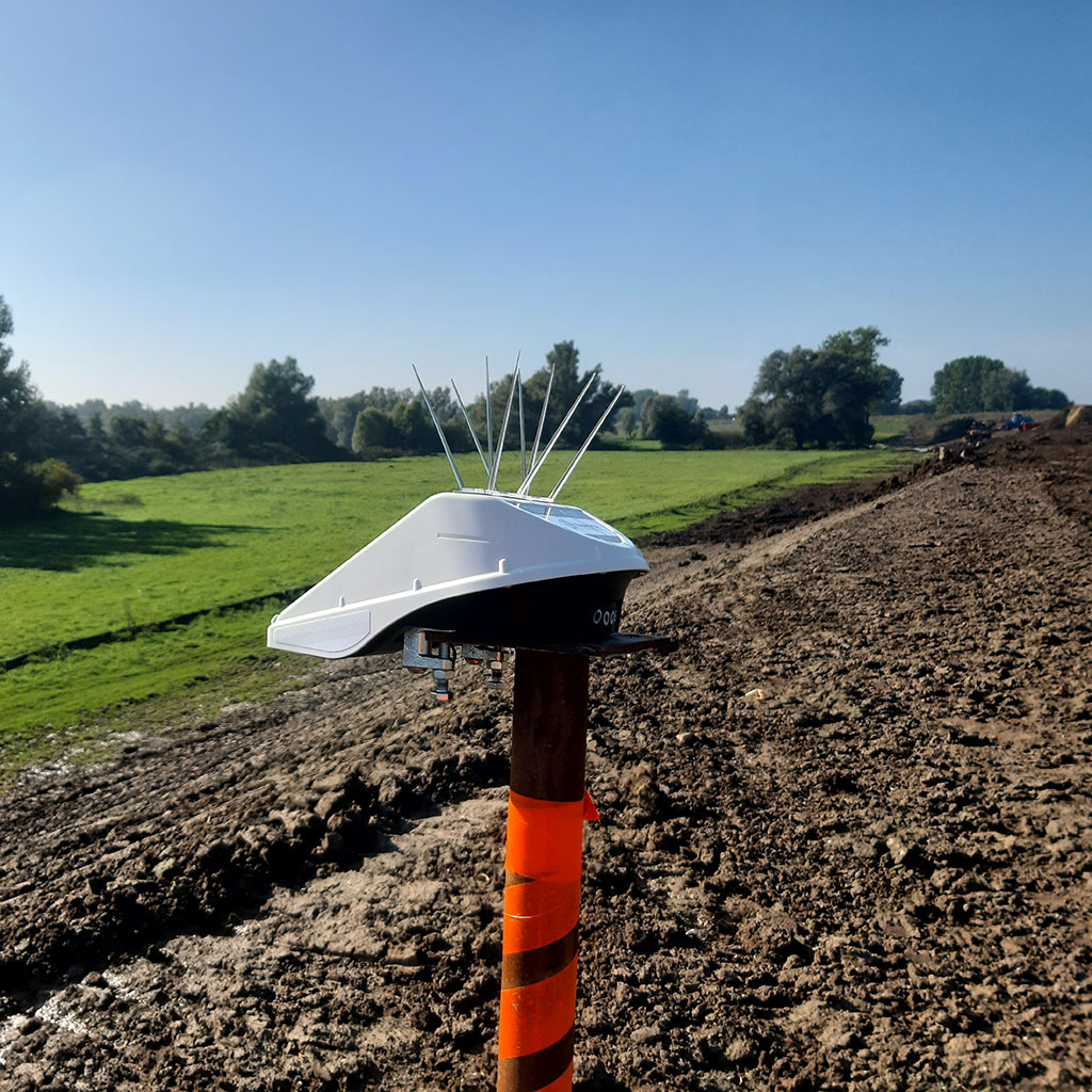
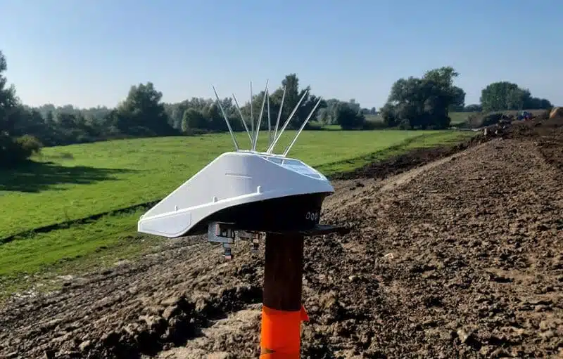
The Locator One is installed on top of the settlement rod. The radar measures the distance to the surrounding ground surface, while GNSS tracks the three-dimensional position of the system.
Automatic Measurement
The Locator One takes measurements according to the configured measurement interval. When a new fill layer is applied, the system can be moved onto an extension piece.
Data Analysis
The measurement data is transmitted and processed automatically. In Parvamoti, you gain insight into settlement, fill height, trends, deviations and the current system status.
Key Benefits
- Accuracy: The Locator One provides consistent data with an accuracy of up to 5 mm on the Z-axis and 3 mm on the X-Y axes. This makes it possible to closely monitor changes in dike elevation and ground settlement.
- Predictability: Daily data collection at fixed times enables engineers to make reliable predictions about expected settlement and the remaining time until stabilisation. This improves not only the accuracy, but also the predictability of dike monitoring.
- Safety: Using the Locator One reduces the need for people to be present on construction sites, significantly improving safety and reducing the risk of accidents.
- Sustainability: Powered by solar energy and a supercapacitor, the Locator One helps reduce CO₂ emissions by minimising measurement rounds and vehicle movements.
FROM RAW MEASUREMENTS TO ACTIONABLE INFORMATION
Complete insight into settlement and fill layers

Settlement and displacement per measurement point
View the development of vertical and three-dimensional movement.
Trends and graphs over time
Compare measurement moments and identify changes in settlement development.
Alerts and notifications for deviations
Receive a warning when configured thresholds are exceeded.
Export and API integrations
Export data or connect it to your own monitoring environment.
System status and battery level
Remotely check whether devices are online and functioning correctly.

Proven precision in the field
The radar sensor measures distances with an accuracy of 1 mm, enabling simultaneous monitoring of structural movement and changes in ground or water levels. Built for demanding outdoor conditions, Locator One delivers reliable performance and high availability in projects of any scale.
“When we started the project a year ago, we did not yet know exactly what benefits the use of Locator One would deliver. However, we were looking for innovative and safer measurement methods. We invested in this concept together because we believed in it. Now, during the construction phase, we can see the results it delivers.”
CaseStudy
Ground Monitoring for the Gorinchem–Waardenburg Dike Reinforcement Project.
Project: Reinforcement of the dike between Gorinchem and Waardenburg.
Description: Between 2023 and 2025, the dike between Gorinchem and Waardenburg is being reinforced along a 23-kilometre stretch. Due to the challenging conditions of the heavy clay soil, the Locator One was selected to monitor the embankment raises, significantly improving safety on the construction site.
Choose the Most Effective Measurement Method
Settlement Rod Measurement Method Advisory Scan™
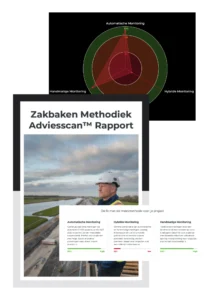
Want to make sure you are using the right measurement method? With the Settlement Rod Measurement Method Advisory Scan™, you can discover in just 10 minutes:
☑ Which measurement method is best suited to your project
☑ How to maximise measurement efficiency without compromising reliability
☑ Where you can immediately optimise your current measurement approach
☑ What savings can be achieved in labour hours and equipment
☑ How to maintain continuous control over settlement and fill phases
Take the scan now and receive your personalised advisory report immediately.
Strengthening Your Sector Together
Locator One is designed for temporary, high-precision monitoring in dynamic construction environments. Typical applications include:
Zakbakenmonitoring
Geïnstalleerd op zakbaken of nabijgelegen constructies volgt de Locator One verticale bewegingen en bodemverdichting over tijd. De geïntegreerde radarsensor maakt nauwkeurige metingen van ophooglagen en restzetting tijdens ophoogwerkzaamheden mogelijk.

Waterpeilmonitoring
Met behulp van geïntegreerde radarafstandsmetingen kan de Locator One continu het oppervlaktewaterpeil in kanalen, rivieren en bassins monitoren.

Monitoring van grondbeweging
De Locator One monitort grondbeweging tijdens grondwerkzaamheden en ontgravingen. Zo kunnen projectteams onverwachte verplaatsingen vroegtijdig signaleren en grip houden op de situatie op de bouwplaats.

Monitoring van aardverschuivingen en taludstabiliteit
De Locator One monitort taluds vóór en na aardverschuivingen en biedt continu inzicht in driedimensionale verplaatsingen. Dit ondersteunt risicoanalyses en het nemen van passende beheersmaatregelen.