Basetime: Precision Geodetic Solutions - Unlocking Excellence in geodetic data and tunnel construction.
Find the right GNSS monitoring setup for your project.
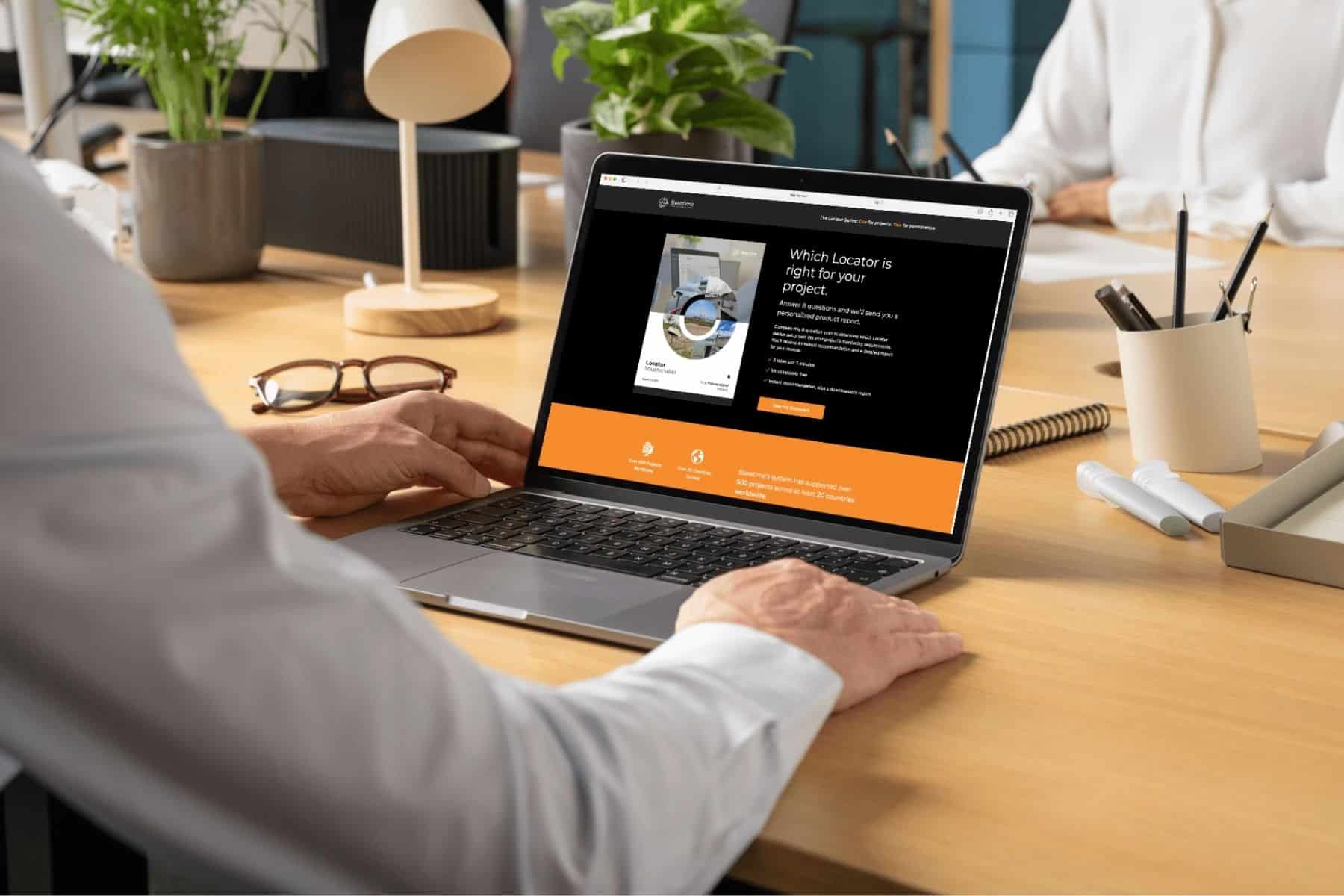
Choosing the right GNSS monitoring setup can be challenging. Every project has different requirements, risks, and conditions. With the Basetime Locator Matchmaker, you can quickly find the solution that best fits your project and move forward with confidence.

In construction and infrastructure projects, having the right monitoring setup in place is key to staying in control.

But choosing the right approach is not always straightforward.
Different project phases, environments, and risks require different types of monitoring, and making the wrong choice can lead to delays, uncertainty, or unnecessary costs.

To support this, we’ve developed a simple tool to help you get clarity quickly, the Basetime Locator Matchmaker.

In just a few minutes, you can identify which monitoring approach best fits your project based on:

  • The type of asset or environment
  • The duration of monitoring
  • The type of movement you need to track

The result?
Clear guidance on the most suitable solution, helping you make better informed decisions from the start.

Start the assessment here:
https://basetime.nl/en/the-locator-matchmaker/

Read more?

What’s new in Parvamoti? Part 3 of 3: View Movement Parallel and Perpendicular to Your Asset

For Object Monitoring projects, movement can now be viewed in relation to the actual direction of the asset.

By defining the Angle Linear Asset, Parvamoti can visualise displacement parallel and perpendicular to the structure, making it easier to understand whether movement is occurring along or across bridges, railways, roads and other linear assets.

A clearer way to interpret movement. More context for your monitoring data.

Lees meer

Part 3 of 3: View Movement Parallel and Perpendicular to Your Asset

INTERGEO 2026 recap: three days of monitoring in Munich

INTERGEO 2026 is a wrap!
We had three great days in Munich, meeting people from across the geospatial and monitoring industry and talking about projects, monitoring challenges and the possibilities of automated GNSS monitoring.

A big thank you to everyone who stopped by the Basetime booth.

Lees meer

barry, erik, martijn, koen en luna op intergeo 2026 in munchen

Introducing Alerts in Parvamoti

Monitoring shouldn’t mean continuously checking a dashboard to see whether something has changed.

With Alerts in Parvamoti, users can define relevant movement conditions and automatically notify the right people by email, SMS or both when those conditions are met.

That means less time spent manually checking monitoring dashboards, greater oversight of changing conditions and more focus on what happens next.

With the latest Alerts V2 update, we’ve expanded this functionality with more precise device targeting, new movement comparison options, clearer threshold guidance and a simpler configuration flow.

It’s another step towards our goal of making Parvamoti a more proactive monitoring platform, moving from reliable monitoring data towards timely information and action.

In our latest newsletter, we introduce Alerts in Parvamoti and take a closer look at what the new functionality offers.

Lees meer

alerts in parvamoti

What’s new in Parvamoti? – Part 2 of 3: Understand settlement relative to your project baseline

In the second part of our Parvamoti update series, we’re highlighting the 𝗥𝗲𝗹𝗮𝘁𝗶𝘃𝗲 𝗦𝗲𝘁𝘁𝗹𝗲𝗺𝗲𝗻𝘁 𝘃𝗶𝗲𝘄 𝘄𝗶𝘁𝗵𝗶𝗻 𝘁𝗵𝗲 𝗦𝗲𝘁𝘁𝗹𝗲𝗺𝗲𝗻𝘁 𝗥𝗼𝗱 𝗱𝗮𝘀𝗵𝗯𝗼𝗮𝗿𝗱.

This allows users to analyse soil level and ground plate height relative to the initial project baseline, making it easier to follow settlement development and recognise movement trends over time.

The dashboard also brings these measurements together visually, with the option to review individual measurements, averaged values and export the data for further analysis.

Read Part 2 to learn more about how Relative Settlement provides clearer context for settlement monitoring.

Lees meer