Basetime: Precision Geodetic Solutions - Unlocking Excellence in geodetic data and tunnel construction.
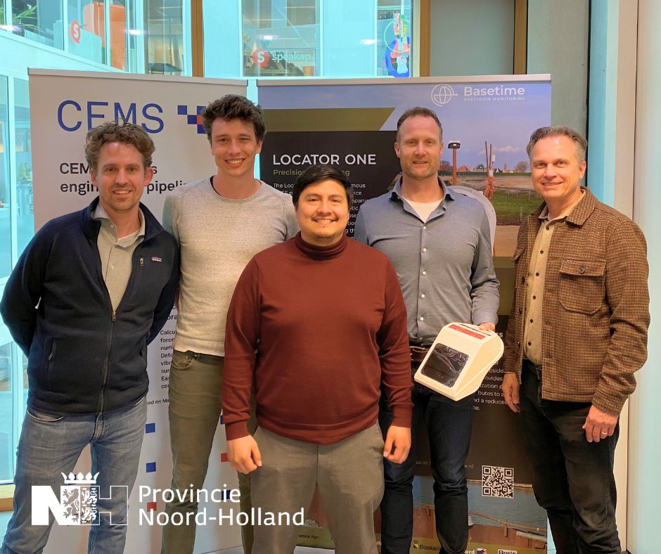
CEMS: CRUX Engineering MicroServices BV and Basetime BV work together on improved prediction of (residual) settlement.
Basetime and CEMS are developing BAEC, a smart monitoring system that provides a more accurate picture of ground movement in the Netherlands and contributes to a safer, future-proof living environment. Discover how this innovation is transforming the way we monitor the ground, forever.

Basetime and CEMS: CRUX Engineering MicroServices BV are working together on the development of the BAEC system (Soil Movement Acquisition and Extrapolation of Continuous Measurements System), an advanced geotechnical monitoring system that improves the accuracy and reliability of ground movement measurements and predictions in the Netherlands. BAEC uses advanced sensor technology, wireless communication, and data analysis to provide real-time insight into ground displacement.

This system innovates by combining automatic, accurate and high-frequency measurements of soil movement with analysis of settlement measurement data and short- and long-term predictions. This can address the problem of uncertainty margins in settlement calculations caused by heterogeneous soil compositions.

The BAEC system responds to increasing drought and flooding in the Netherlands, which affect the built environment and groundwater levels. Moreover, it anticipates the need for accurate measurements and forecasts in a digitized construction industry with a shortage of personnel.

Basetime’s sensor technology and geodesy expertise, along with CEMS’ geotechnical consulting and software development, are a powerful combination to successfully execute this R&D project. The BAEC system will provide valuable data for managing subsidence and protecting buildings and infrastructure. In addition to the development of the system, several field tests will be conducted to optimize the system and verify developments in practice.

The development of BAEC receives support through a grant from the MKB Innovatiestimulering Topsectoren Research & Developmentprojecten Noord-Holland 2023, made possible by the Provincie Noord-Holland.

    Innovative settlement monitoring with BAEC

    Improved predictions and more efficient ground management. Discover how BAEC makes your ground projects future-proof.

    Read more?

    What’s new in Parvamoti? Part 3 of 3: View Movement Parallel and Perpendicular to Your Asset

    For Object Monitoring projects, movement can now be viewed in relation to the actual direction of the asset.

    By defining the Angle Linear Asset, Parvamoti can visualise displacement parallel and perpendicular to the structure, making it easier to understand whether movement is occurring along or across bridges, railways, roads and other linear assets.

    A clearer way to interpret movement. More context for your monitoring data.

    Lees meer

    Part 3 of 3: View Movement Parallel and Perpendicular to Your Asset

    INTERGEO 2026 recap: three days of monitoring in Munich

    INTERGEO 2026 is a wrap!
    We had three great days in Munich, meeting people from across the geospatial and monitoring industry and talking about projects, monitoring challenges and the possibilities of automated GNSS monitoring.

    A big thank you to everyone who stopped by the Basetime booth.

    Lees meer

    barry, erik, martijn, koen en luna op intergeo 2026 in munchen

    Introducing Alerts in Parvamoti

    Monitoring shouldn’t mean continuously checking a dashboard to see whether something has changed.

    With Alerts in Parvamoti, users can define relevant movement conditions and automatically notify the right people by email, SMS or both when those conditions are met.

    That means less time spent manually checking monitoring dashboards, greater oversight of changing conditions and more focus on what happens next.

    With the latest Alerts V2 update, we’ve expanded this functionality with more precise device targeting, new movement comparison options, clearer threshold guidance and a simpler configuration flow.

    It’s another step towards our goal of making Parvamoti a more proactive monitoring platform, moving from reliable monitoring data towards timely information and action.

    In our latest newsletter, we introduce Alerts in Parvamoti and take a closer look at what the new functionality offers.

    Lees meer

    alerts in parvamoti

    What’s new in Parvamoti? – Part 2 of 3: Understand settlement relative to your project baseline

    In the second part of our Parvamoti update series, we’re highlighting the 𝗥𝗲𝗹𝗮𝘁𝗶𝘃𝗲 𝗦𝗲𝘁𝘁𝗹𝗲𝗺𝗲𝗻𝘁 𝘃𝗶𝗲𝘄 𝘄𝗶𝘁𝗵𝗶𝗻 𝘁𝗵𝗲 𝗦𝗲𝘁𝘁𝗹𝗲𝗺𝗲𝗻𝘁 𝗥𝗼𝗱 𝗱𝗮𝘀𝗵𝗯𝗼𝗮𝗿𝗱.

    This allows users to analyse soil level and ground plate height relative to the initial project baseline, making it easier to follow settlement development and recognise movement trends over time.

    The dashboard also brings these measurements together visually, with the option to review individual measurements, averaged values and export the data for further analysis.

    Read Part 2 to learn more about how Relative Settlement provides clearer context for settlement monitoring.

    Lees meer