One of our first applications is the automated measurement of settlement rods. Geotechnical departments must gain insights into the settlement of the original ground level, and the compaction of the additional material applied. To obtain this information, the placed settlement rods must be monitored periodically. Traditionally, this task was carried out by surveyors. We however, will use Locator one devices to monitor and present both the vertical movement of the original ground level and the thickness of the newly applied sand package.
The height determination of the settlement rod, and thus the height of the base plate that is placed on the ground level, will be measured by the GNSS sensor in Locator one. The sand package however, cannot be measured directly by the GNSS sensor. As a result we use the radars rangefinder, through which we can determine the distance between the bottom of the Locator one and the surface of the sand package.
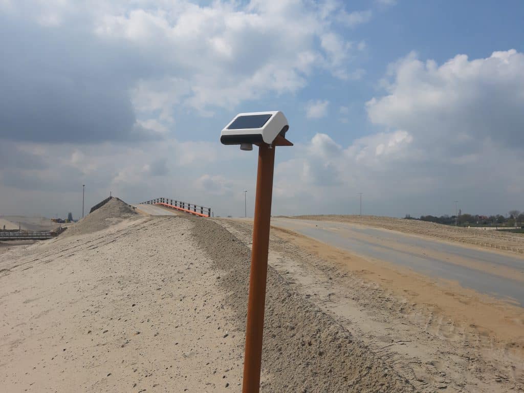
By calculating this distance with an offset to the height observation of the GNSS antenna, we can obtain the absolute height or a thickness determination of the sand package. The requested information is then made accessible to you through the Basetime dashboard or can be sent to your own management application via an API.
The elevation component (Z direction) is the primary need of the geotechnical specialist. However, the movements in the horizontal plane (XY values) can also provide a wealth of information to the user. In addition to a 2D position determination for the location registration of a settlement rod on a geographic map and database, the XY observations can provide insights on disturbances a settlement rod might incur due to, for example, collisions with heavy machinery. In case of such an event you will receive an automatic notifications on either your phone or e-mail.

