Locator Two is designed to ensure you always know when infrastructure moves beyond what is normal.
Dual-Sensor Precision
Locator Two combines two complementary precision technologies within one autonomous monitoring system:
GNSS: Absolute 3D Displacement
- Up to 96 measurements per day
- Measures X, Y, Z coordinates
- Detects magnitude and direction
- Builds a seasonal baseline
3D Tilt: Rotational Insight
- Up to 288 measurements per day
- Detects angular changes
- Identifies early stress and settlement
GNSS shows where movement occurs. Tilt shows how it behaves.
Together, they provide a complete understanding of structural response over time.
Designed for Critical Infrastructure
Locator Two supports autonomous, high-precision monitoring across:
- Railways
- Bridges
- Harbor quay walls
- Dams and other linear assets
From detecting track bed settlement to distinguishing thermal expansion from structural anomalies, Locator Two delivers continuous insight where it matters most.

Access Your Data Anywhere
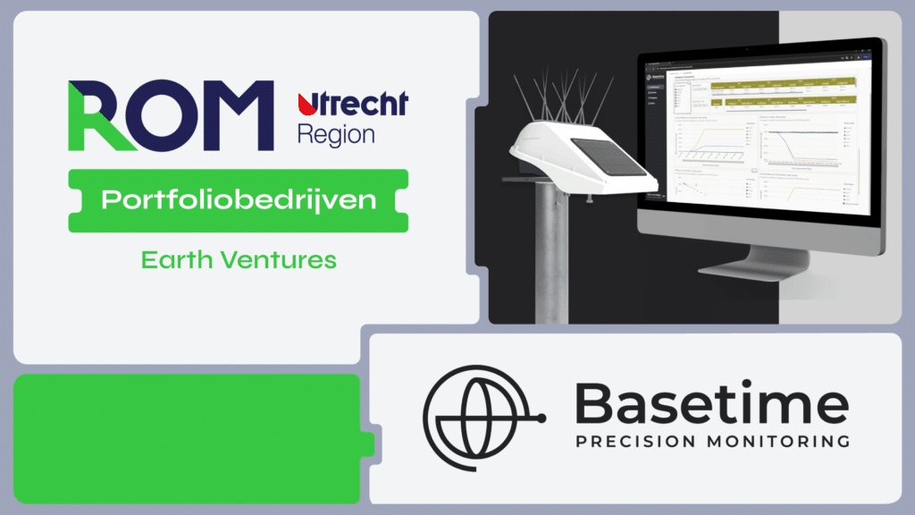
All measurements are automatically transmitted to Parvamoti, the Basetime cloud platform.
There, data is transformed into:
- Clear trend analyses
- Visualizations
- Configurable thresholds
- Automatic alerts
Your team can review performance remotely, detect anomalies early, and respond quickly, without manual data collection or unnecessary site visits.
Expanding the Basetime Locator Series
Locator One – Built for projects. Locator Two – Built for permanence.
Together, they provide monitoring solutions across every project phase and throughout the full asset lifecycle.
Permanent infrastructure requires continuous understanding.
To measure is to know.