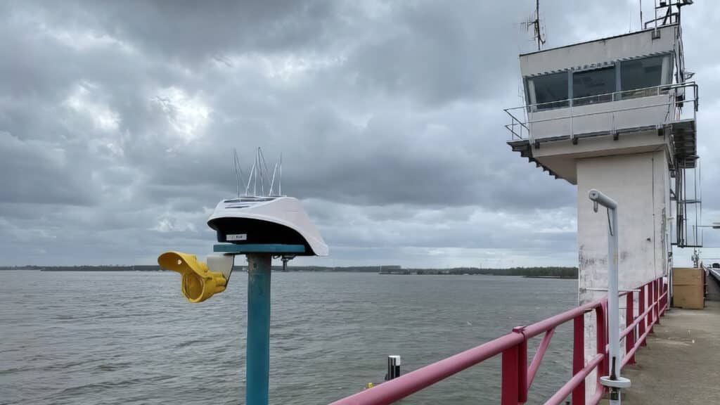
Water level monitoring
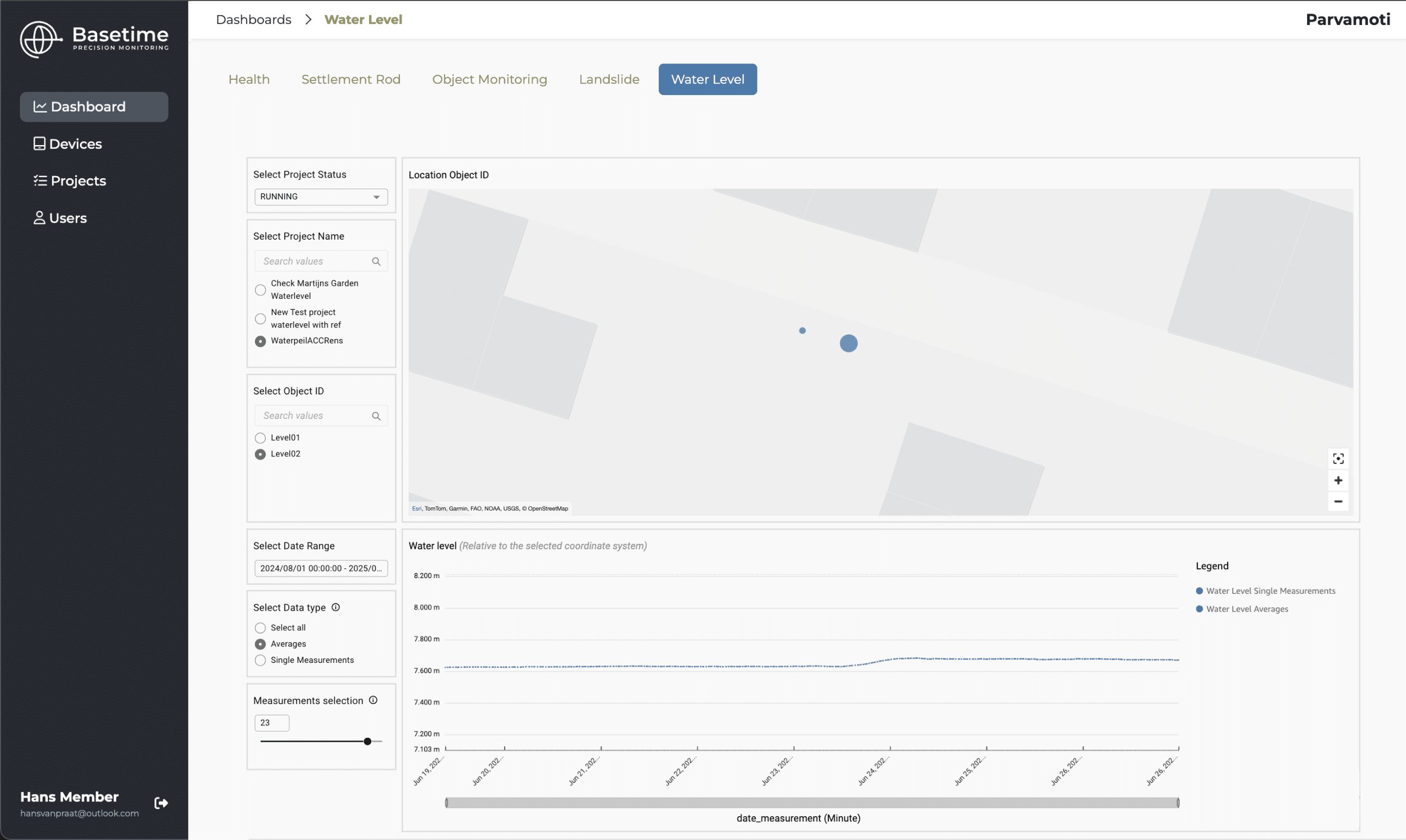
The first version has launched. With the Locator One, you can now monitor water levels accurately and fully autonomously. A smart solution for water authorities, engineering firms and contractors looking for reliable water level data
Direct data and configurable per day
Water level insights at any location
Reliable water level data. Instantly available.
With our solution, you always have access to up-to-date and accurate data. Perfect for rivers, canals, and surface water.
Reliable water level data
Immediate availability of water levels in your selected elevation model; accurate and reliable water level data for optimal decision-making.
Measurement at your preferred time
You decide when and how often measurements are taken, ensuring the data perfectly aligns with your project requirements or management strategy.
Reliable and automatic data transfer
All data is automatically sent to the dashboard or your own system via API.
Sustainability
Harmful batteries and trips for measurements are a thing of the past, as our devices run on solar energy and a supercapacitor. This significantly reduces CO2 emissions during operations.
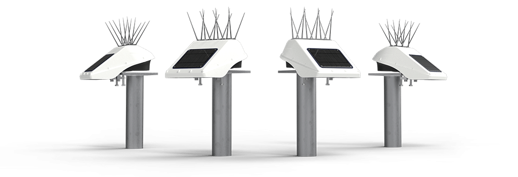
Locator One:
precision in every movement
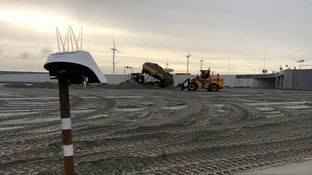
The Locator One is an autonomous GNSS-based 3D monitoring station that provides sub-centimeter accuracy. Designed for construction companies, surveyors, and engineers, it is ideal for monitoring ground movement, tunnels, bridges, and water levels. With easy-to-install devices, you always have full control over even the smallest movements.
Designed for ditches, canals, and lakes
Reliable measurements on inland waters
Specifically designed for freshwater locations
The first version of our measurement solution is optimized for use on inland waters, with the Locator One positioned over 4 meters above the water surface. Think ditches, canals, lakes, and other freshwater areas.
Measurement range & waves
The Locator One measures up to the water surface and is currently suitable for conditions with a maximum wave height of 30 cm. This is a key limitation in the first version. Improvements for rougher conditions are being developed for the next version.
Measurement frequency
This version can perform up to 96 measurements per day, which means a measurement every 15 minutes. A higher measurement frequency is also under development and will be available in future updates.
Please note: This is the first version of the system. Both the measurement frequency and performance in higher wave conditions will be enhanced in upcoming releases.
Our Applications
In addition to water level monitoring, our systems can also be used for:
Bridges
Settlement Rods
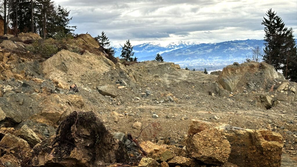
Landslides
Are you interested in more information?
Would you like to learn more about how our solutions can support your water level projects? Feel free to contact us for more information or download the full case study!

