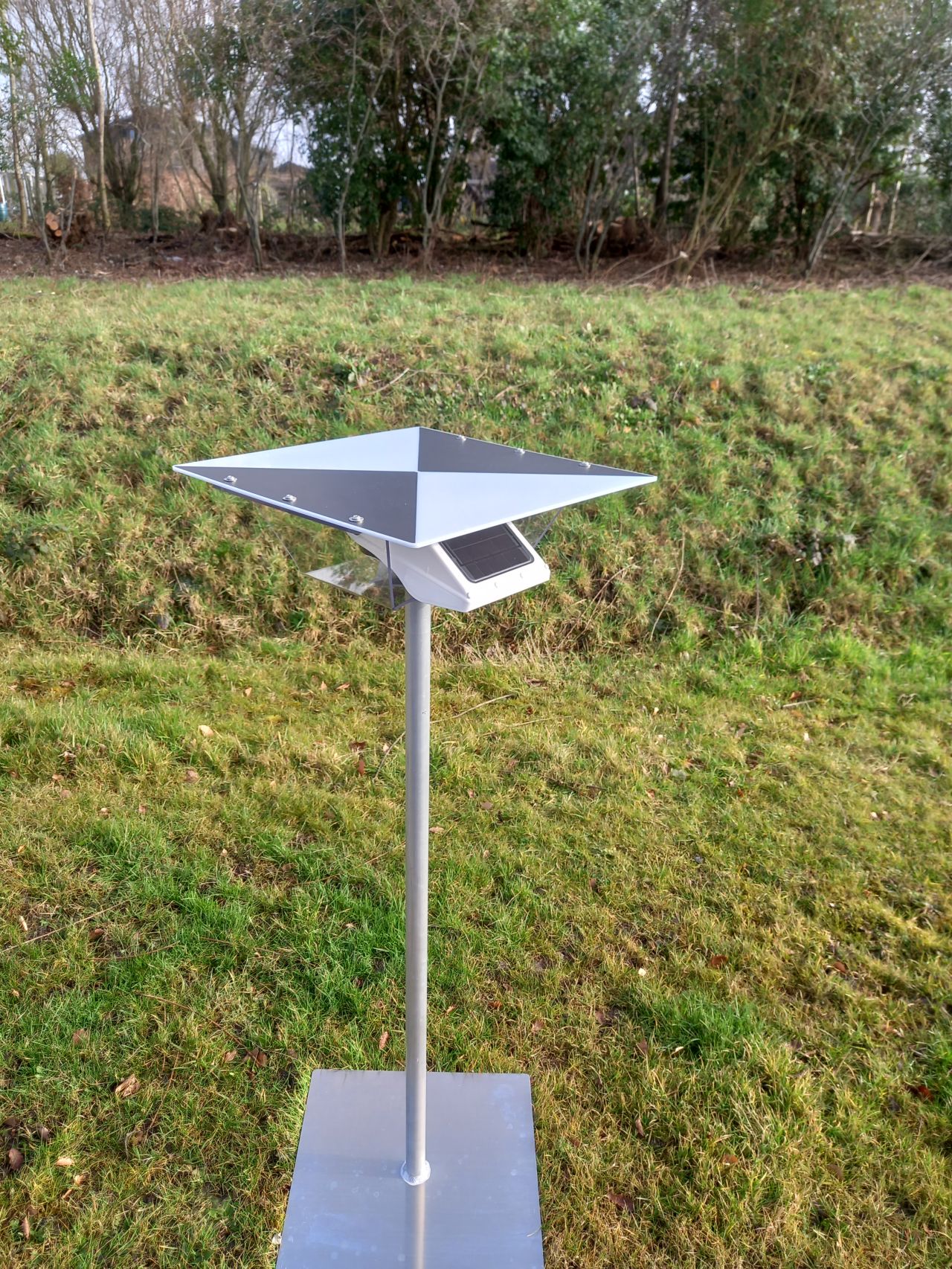
In the world of drone-based land surveying and inspections, accuracy is crucial. Basetime offers an innovative solution by combining Ground Control Points (GCPs) with the autonomous GNSS receiver, Locator One. This combination significantly enhances the precision of drone measurements, leading to more efficient and reliable results.
The benefits of Ground Control Points
Ground Control Points are fixed reference points on the ground with precisely known coordinates. They serve as calibration points for drone imagery and correct deviations caused by atmospheric disturbances or inaccurate sensor data. Using GCPs reduces positioning errors, resulting in much higher accuracy for maps and 3D models.
The Power of the Locator One GNSS Receiver
Basetime’s Locator One is an autonomous GNSS receiver that delivers highly accurate positioning data in real-time and post-processing. When combined with GCPs, it ensures:
Subcentimeter Accuracy: Ideal for applications such as agriculture, construction, and infrastructure monitoring.
Ease of Use: The Locator One can be easily deployed in the field and automatically collects data without complex manual configurations.
Efficiency in Data Processing: By integrating GCPs with precise GNSS measurements, fewer corrections are needed afterward, saving time and costs.
The collaboration between Basetime’s Ground Control Points and the Locator One GNSS receiver makes drone-based measurements more precise and reliable than ever. This leads to faster project execution, lower operational costs, and better decision-making based on highly accurate geospatial data.
Whether for construction site monitoring, agriculture, or topographic mapping, this technology provides a future-proof solution for professionals striving for the highest measurement standards.
Dimensions: 50 x 50 cm in square
More info? Sales@basetime.nl

